Drone surveying and mapping - Survey Camp 2024 January
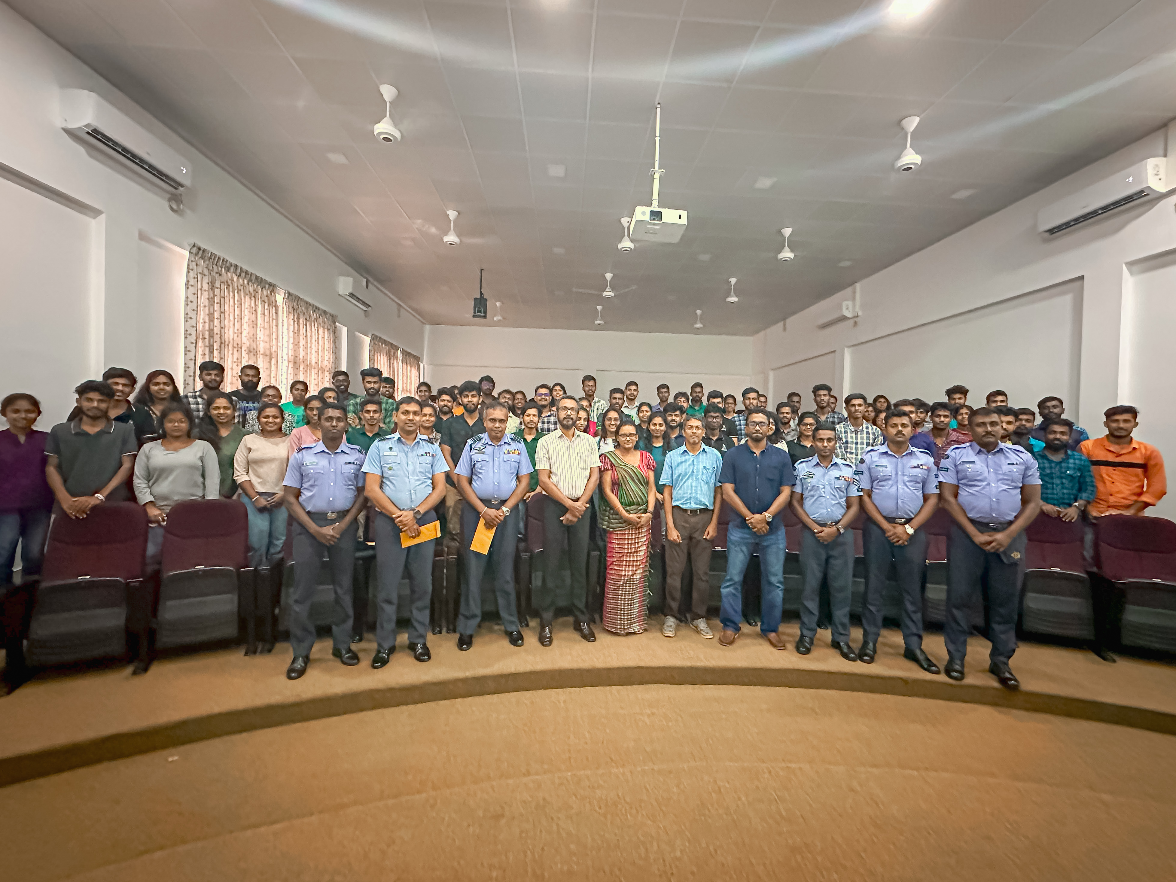
As a part of the ongoing curriculum of the B.Sc Surveying Sciences degree program, it is necessary for our students to get trained on modern surveying techniques and their application. For this, the Department of Surveying and Geodesy, in collaboration with the Sri Lanka Air Force (SLAF) has successfully conducted a drone surveying and mapping workshop for the 2018/2019 undergraduate students in their Survey Camp Program on 30th and 31st January 2024.
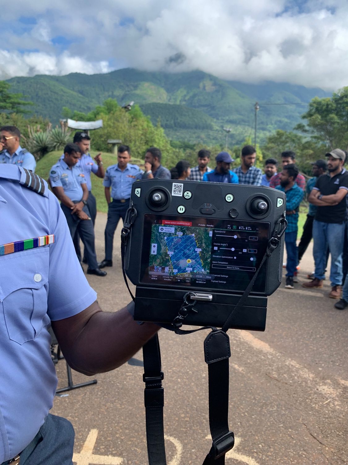
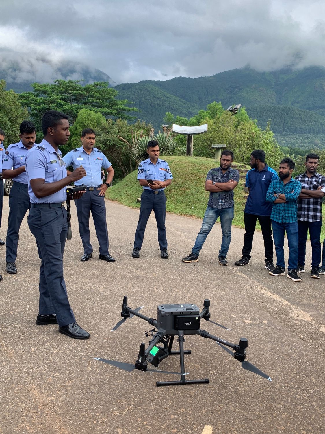
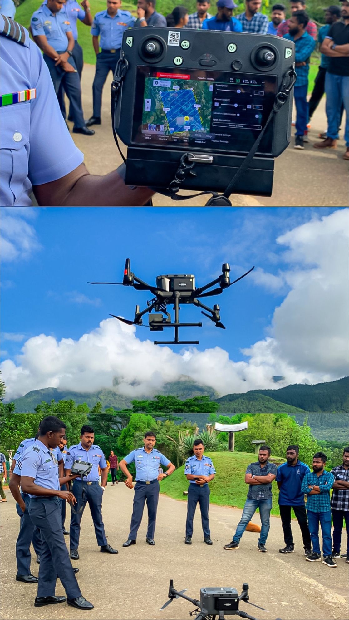
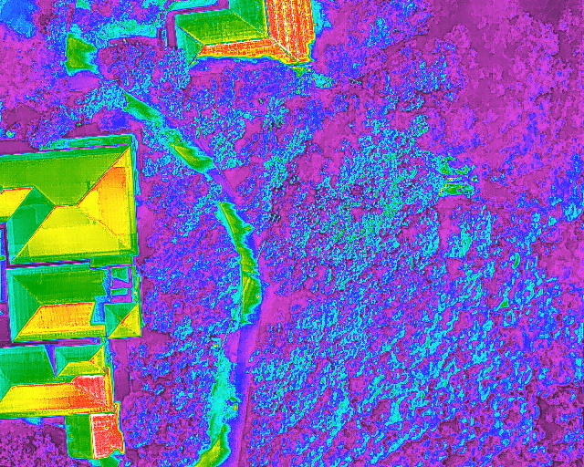
Group Captain W.M.D.A.Weerasooriya and his SLAF team shared their knowledge and technical expertise by providing an M300 drone flight with RGB and LIDAR sensors. Detailed descriptions of the current civil aviation regulations on drone flying, understanding of drone peripherals, flight path designing, data collection and preliminary processing were discussed and demonstrated during the programme.